

Deciding My Travel Hiking Itinerary // Full-Time RV Traveler and Adventure Elopement Photographer
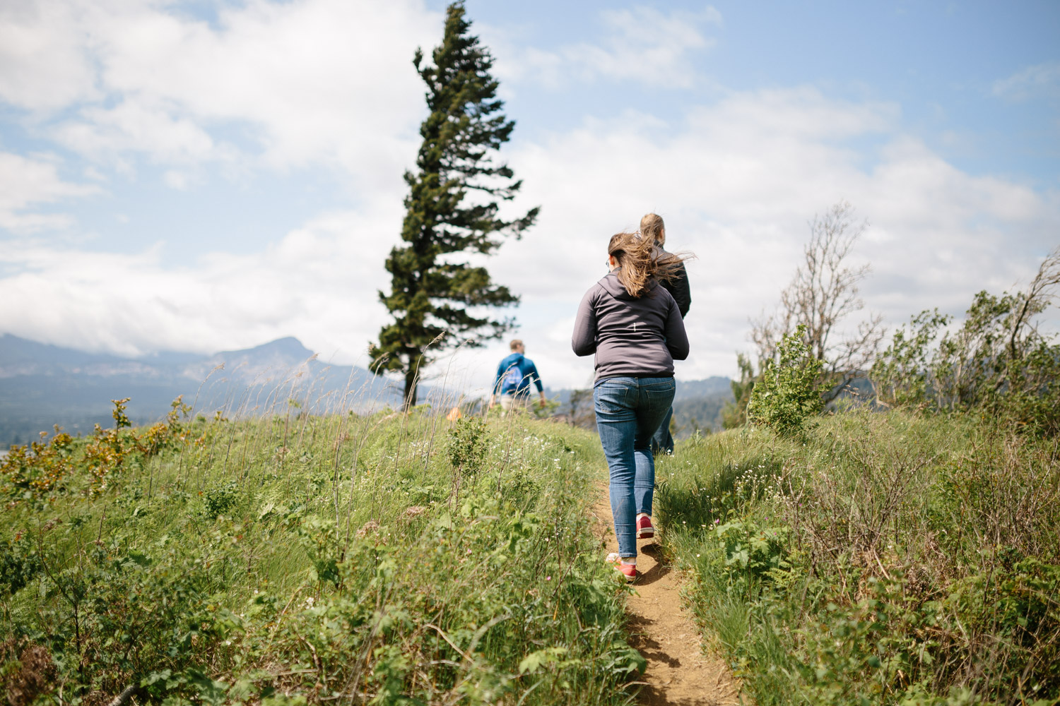
Hiking is one of my FAVORITE activities. Specifically day hikes with a bit of a scrambling climb in there somewhere. Oh, and waterfalls! I don’t claim to be an expert, but I’d like to share how I find which trails to take.
First of all, I would like to say that this is not going to be a post about how to get to that “super secret special spot” where this great Instagram photo was taken and now has been taken by millions of people who don’t continue on the hike but instead wait in line for just the photo then go home. Yes, that’s a thing. Yes, it’s obnoxious, but more importantly it means you’re missing out on SOOO much. So, that’s not what I’m about. I’d rather help you continue on past that point to make your own adventures.
In summary and a little more blunt: DON’T just go to the “Instagram” spots and DON’T go off path in sensitive areas. Please and thank you. :) (Now back to our regularly scheduled post.)
How to find the best hiking on your travels:
1. Ask People
I’m going to start with the trick that has been around for centuries. Yup, ask the people around you. I mean it! Yes, I’m an extrovert, but I’ll strike up a conversation with people in the grocery store, at rest stops, in the bathroom while we’re both washing our hands, and even on other hikes. Especially on other hikes! Mention that you’re new to the area and ask if they have any places that they recommend! Some people will share something new and exciting. That’s actually how I found my favorite hike in Sedona, Arizona. :)
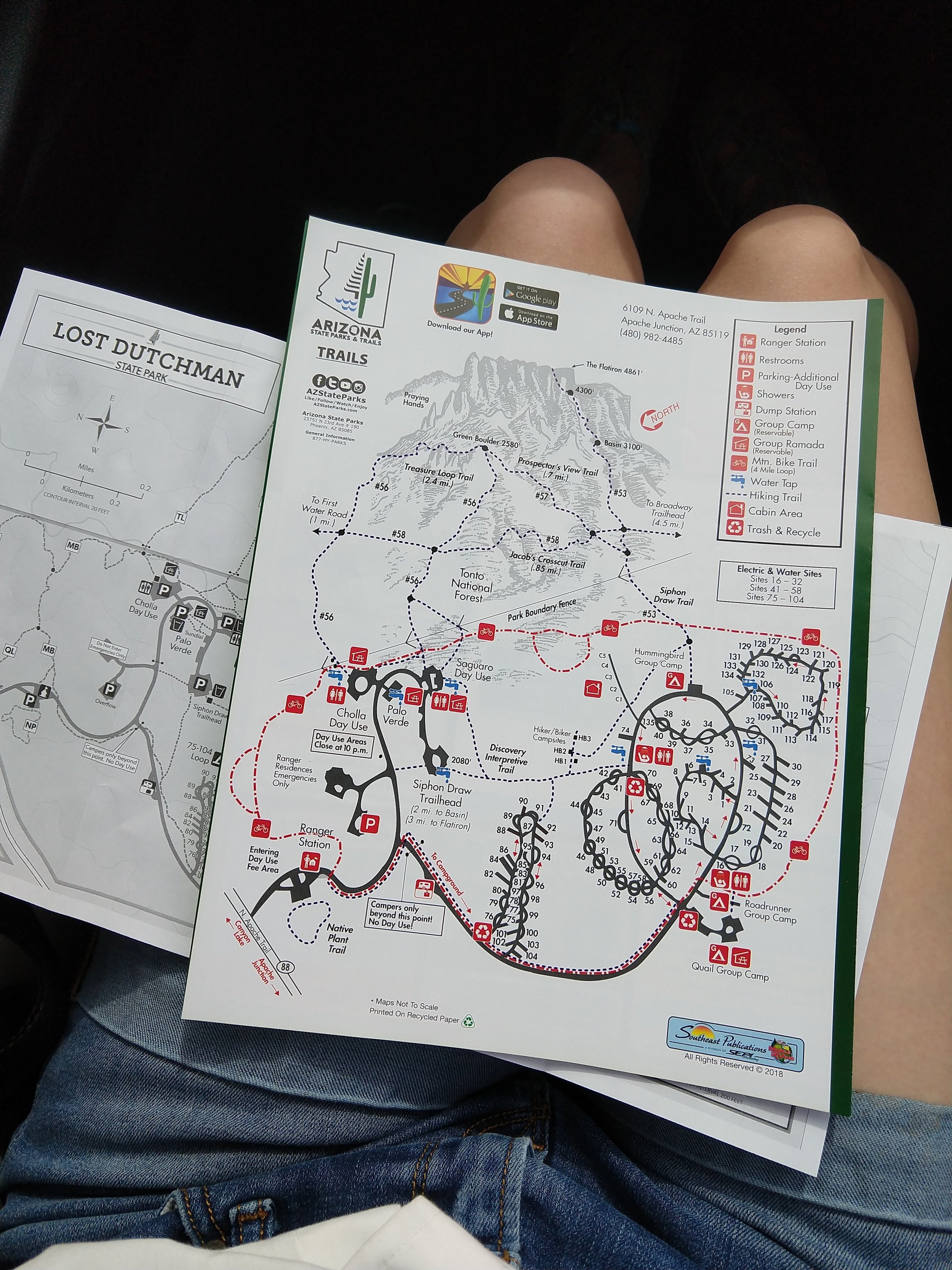
2. Check Out The Park Map
This is actually one of my favorites. If you’re visiting a national, state, or other park that provides a map, GET IT! If they offer more than one type, check them both out. I’ve found that the maps aren’t drawn the best, but the information on the trails is quite handy. If possible, also visit the location’s website, they often give different information than even the paper maps at the visitor’s centers or when you enter the park.
I have found a lot of helpful information through these maps, especially information about the trails themselves. You’ll often be provided details about the length and difficulty of the trails, but sometimes you’ll also find further details, such as which direction you’ll want to take the path if it’s a loop!
Then when you’re on the trail and meet someone who is a little lost, you can share your extra map with them. I’ve done this many times. It also makes me feel like I’m not wasting paper, haha.

3. Google Maps
Google Maps is probably a likely place for many to start these days, but while it is a helpful tool I don’t like to use it exclusively. However, partnering it with other resources can be quite helpful! Here are a few tricks that you may or may not know yet:
Make your own maps (maps.google.com -> Your Places -> Maps) with all your favorite places, places you want to go, and recommendations from others. Here’s an example map I made of Oregon. (Pro: everything for one area in one place. Con: may only see contents when individual map is opened.)
Tag places and save them to organized lists. Tag by entering a location, expand the information (on the app), click on the little “banner” icon, and save to your list of favorites, starred locations, or places you want to go or create your own list. If you’re anything like me, everything is organized out into many specific lists, haha. (Find your lists at maps.google.com -> Your Places -> Saved)
Once you have places tagged, it is easy to notice if they are near your later route or to plan a route between them!
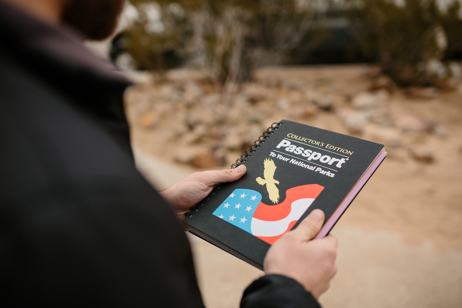
4. National Parks Passport Book
This has been such a fun resource! Plus it’s fun to find the stamps and check places off the list. (I know I’m not the only one obsessed with lists, haha.) I went ahead and put all of the locations in the book into their own tagged list on Google Maps. :) It’s been perfect for finding places nearby or seeing if we can make our route include them.
5. Use the AllTrails App
Can anyone say “best app ever"?! Well, at least I really appreciate it alongside these other resources for finding where to hike, haha. It’s a really good place to find the basic information about the hikes in your area. It still doesn’t include every hike out there, but I don’t need EVERY hike out there. Yet... haha
Some of the information you can find or filter to curate the hikes you’re seeing on this app is distance, whether it’s a loop or not, difficulty, trail use types (i.e. hiking, dogs allowed, mountain biking, etc.). I like to compare what I find on this app with the other resources I listed above to get the best options. Don’t forget to look at the comments! Often people will mention if there have been any recent changes, such as if there has been a recent rain and the trail is muddy or has been washed out. Another perk is that it also has a map you may access for free if your hike is in an area where you have data!

Now get out there and have some fun! Hike, enjoy, and don’t forget to leave no trace!


